

[osm_map lat=”47.31″ long=”-121.062″ zoom=”14″ width=”515″ height=”450″ gpx_file=”http://www.laberee.ca/gpx/hexmountain.txt” gpx_colour=”blue” type=”ext” extmap_type=”OSM” extmap_name=”TOPOSM” extmap_address=”http://tile2.toposm.com/us/color-relief/${z}/${x}/${y}.jpg” extmap_init=”numZoomLevels: 15, transitionEffect: ‘resize’, sphericalMercator: true”]

[osm_map lat=”48.91″ long=”-121.016″ zoom=”13″ width=”515″ height=”450″ gpx_file=”http://www.laberee.ca/gpx/desolationpeak.txt” gpx_colour=”blue” type=”ext” extmap_type=”OSM” extmap_name=”TOPOSM” extmap_address=”http://tile2.toposm.com/us/color-relief/${z}/${x}/${y}.jpg” extmap_init=”numZoomLevels: 15, transitionEffect: ‘resize’, sphericalMercator: true “extmap_type2=”OSM” extmap_name2=”TOPOSM2″ extmap_address2=”http://tile1.toposm.com/us/contours/${z}/${x}/${y}.png” extmap_init=”numZoomLevels: 15, transitionEffect: ‘resize’, sphericalMercator: true”]
Read more ›
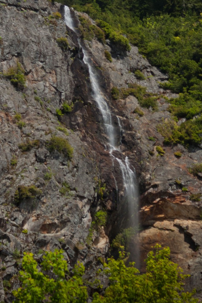
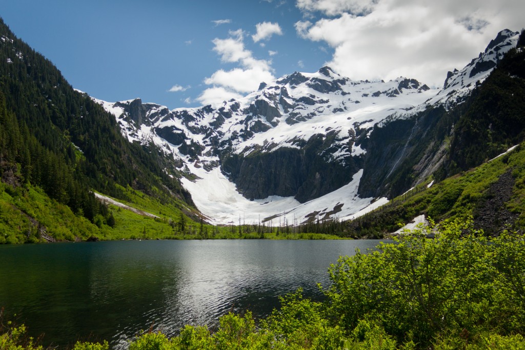
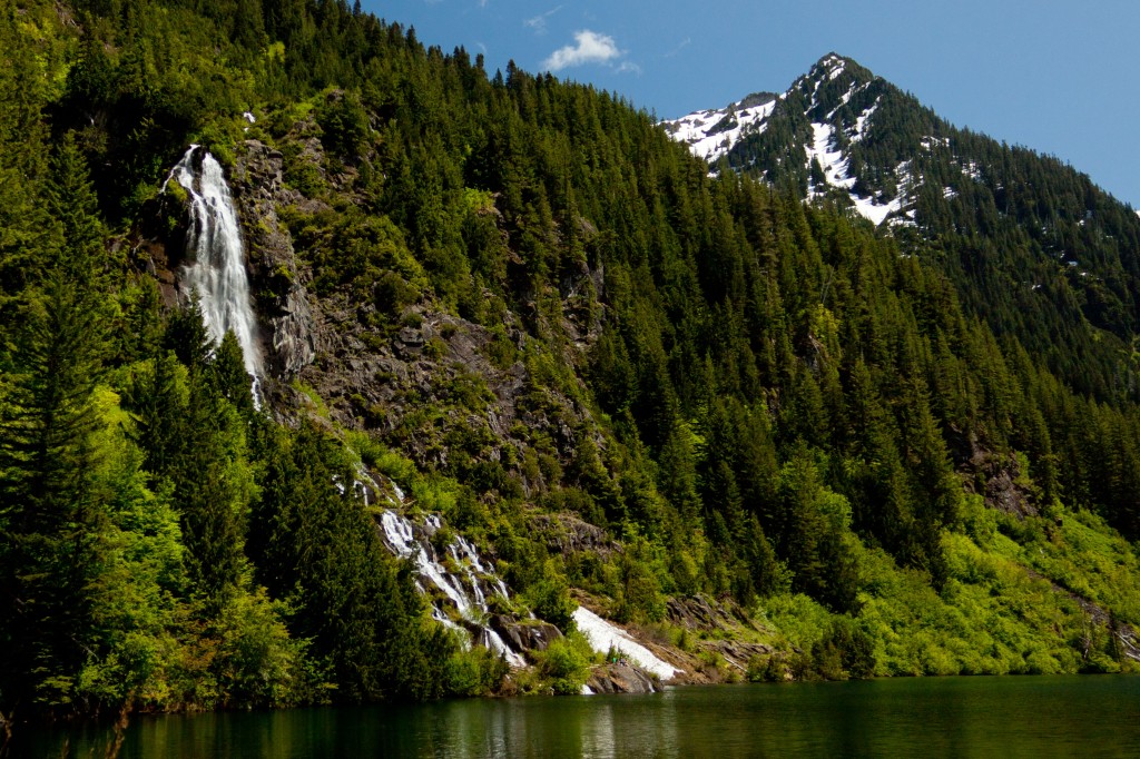
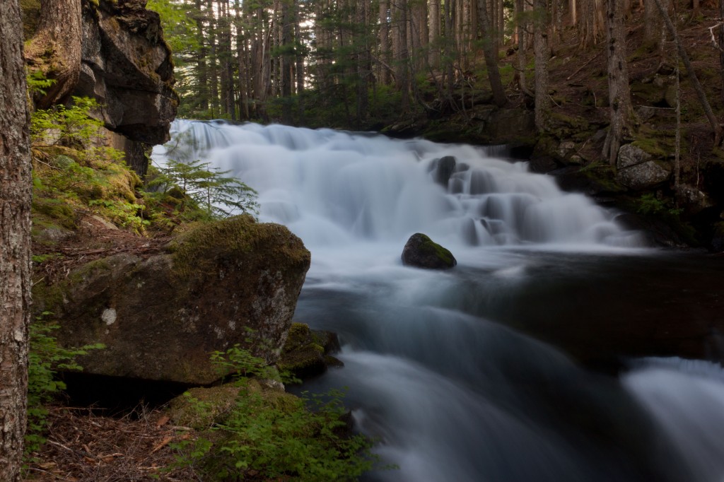
[osm_map lat=”47.79″ long=”-121.459″ zoom=”13″ width=”515″ height=”450″ gpx_file=”http://www.laberee.ca/gpx/barclaylake.txt” gpx_colour=”blue” type=”ext” extmap_type=”OSM” extmap_name=”TOPOSM” extmap_address=”http://tile2.toposm.com/us/color-relief/${z}/${x}/${y}.jpg” extmap_init=”numZoomLevels: 15, transitionEffect: ‘resize’, sphericalMercator: true”]
Read more ›